Jacqueline Palacios
Municipality of Lima
The content of this news item has been machine translated and may contain some inaccuracies with respect to the original content published in Spanish.
Every October 28th is commemorated the great earthquake that destroyed the city of Lima and Callao in 1746. It measured 9.0 on the Richter scale and is considered the strongest earthquake ever recorded in Lima. The disaster did not stop there, as minutes later came a devastating tsunami that swept away everything in its path. At that time, the waves reached as far as the district of Carmen de la Legua in Callao. The result: only 200 inhabitants of Callao survived and 14% of the inhabitants of Lima died.
Three weeks before this seismic movement, prisoners in the prison on San Lorenzo Island described seeing lights in the sky, an effect known today as luminescence. This phenomenon is similar to the one that occurred in the earthquake of 15 August 2007 in Pisco. Data like this is what motivated researchers at the PUCP Institute of Radio Astronomy (Inras-PUCP) to investigate the electrical phenomena that precede earthquakes.
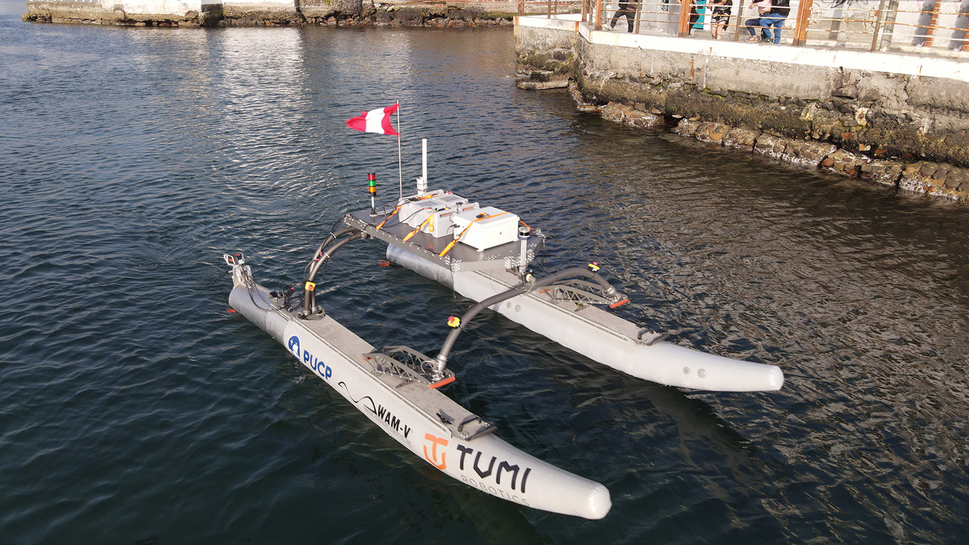
This led to the Peru-Magneto project, a network of stations that detect electromagnetic signals in the subsoil linked to seismic events. Its purpose is to be able to detect signals that precede earthquakes and contribute to an eventual reliable method for predicting these movements.
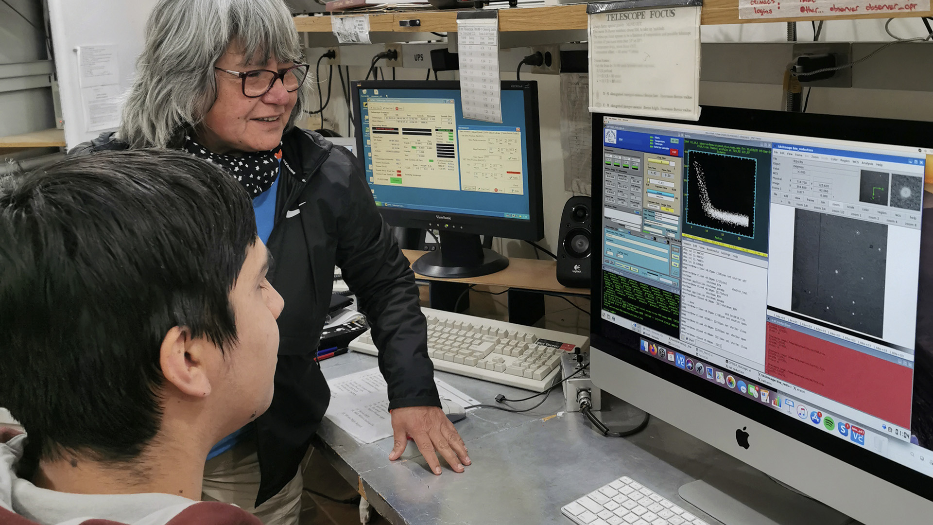
Recognising the importance of this project, the mayor of Lima, Jorge Muñoz, in his capacity as head of Civil Defence in Metropolitan Lima, visited Inras-PUCP on 28 October to see the progress of the project. Dr. Jorge Heraud, director of Inras-PUCP, and the vice-rector for research, Dr. Aldo Panfichi, were present to present the project.
Among the project's outstanding advances is the ability to plot in images how tectonic plates move during earthquakes. "The Nazca plate, when it reaches the continent, meets the South American plate. One has been pushed underneath the other, like someone pushing something under the carpet. The carpet crumples, it lifts up, those are the Andes. We have a way to plot in three dimensions what that plate looks like when it goes under the other one and at what angle it goes under the other one. That's the extraordinary thing," says Dr Jorge Heraud.
To date, information has been collected on more than 80 earthquakes in the Lima area. Among them, the earthquake measuring 4.1 on the Richter scale that occurred on 26 October in the capital. They have been comparing statistical data in order to better analyse and understand how and where earthquakes come from. "We already have enough information to know that our method is good and works," he concludes.
.jpg)